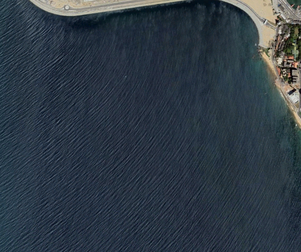
Satellite imagery allows us to better understand the coasts,estimating the depth, quality and clarity of the water. Images can be colorised retrospectively by combining multispectral data, revealing hidden information not visible to the naked eye.
Using high-quality satellite imagery in the coastal area around the island can be used to generate very accurate
Bathymetric Models to get sophisticated Decisions on the Coastal Development and Environmental Management projects for sustainable
development over the regions.

Applications
- Protecting the marine environment
- Habitat mapping
- Developing sustainable tourism
Create optimal solutions for Sustainable tourism management using new technology and products. Geoplus team experts use our satellite resources for sustainable tourism industry development, and biodiversity development over the region.
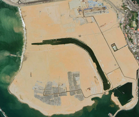
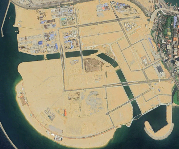
- Building Coastal Infrastructure
Create optimal solutions for Sustainable tourism management using new technology and products. Geoplus team experts use our satellite resources for sustainable tourism industry development, and biodiversity development over the region.