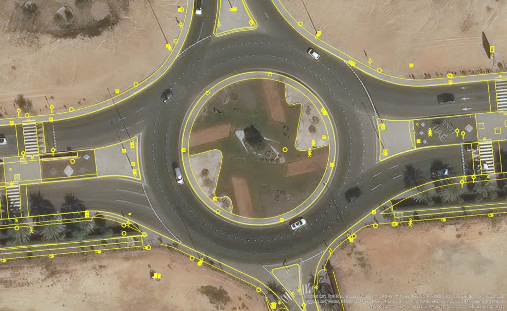
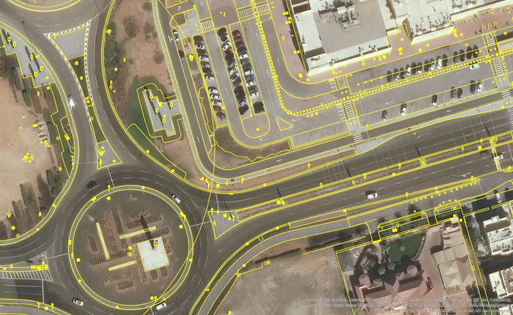
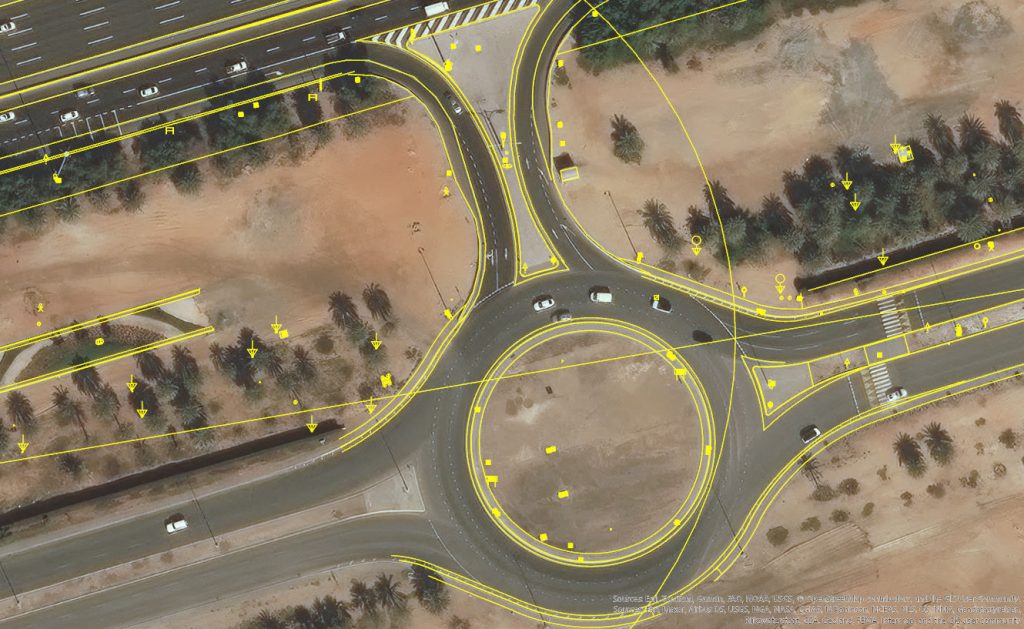
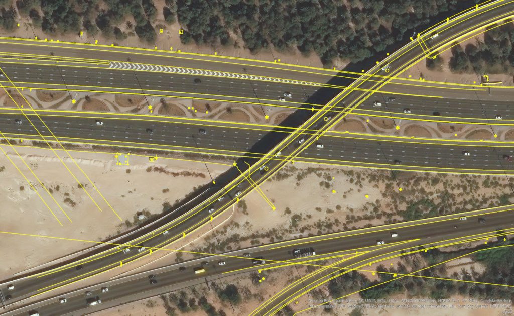
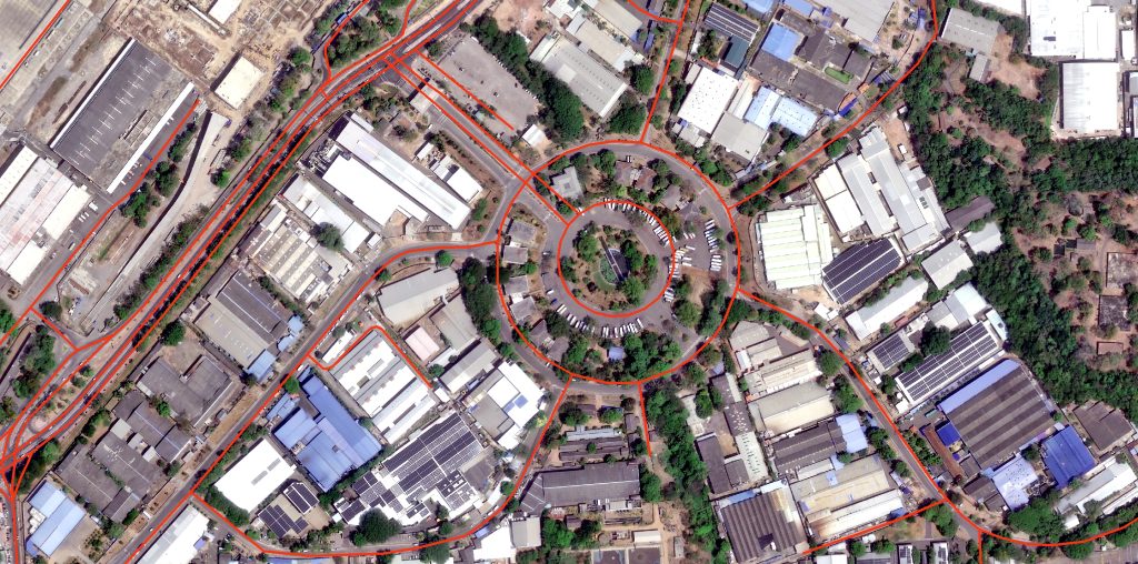
Geoplus Solutions’ in-house production team provides orthorectification and mosaic imagery services to enhance the accuracy of your project’s survey design (CAD file).
The orthorectification of satellite images uses high-precision field Ground control points or vector data (CAD/SHP) and DEM data. According to the RPC parameters provided by the image data, the remote sensing images are corrected for projection errors and geocoded through the RPC model.
Digital Elevation Models
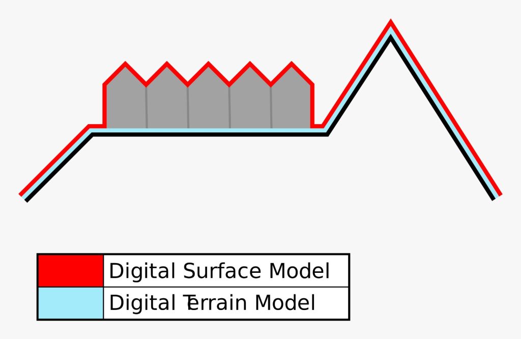
Digital Elevation Models (DEMs) play a significant role in geospatial solutions. Our internal production experts are ready to provide two types of DEMs (DSM or DTM) for your satellite imagery-related 3D product requirement based on your specific project requirement.
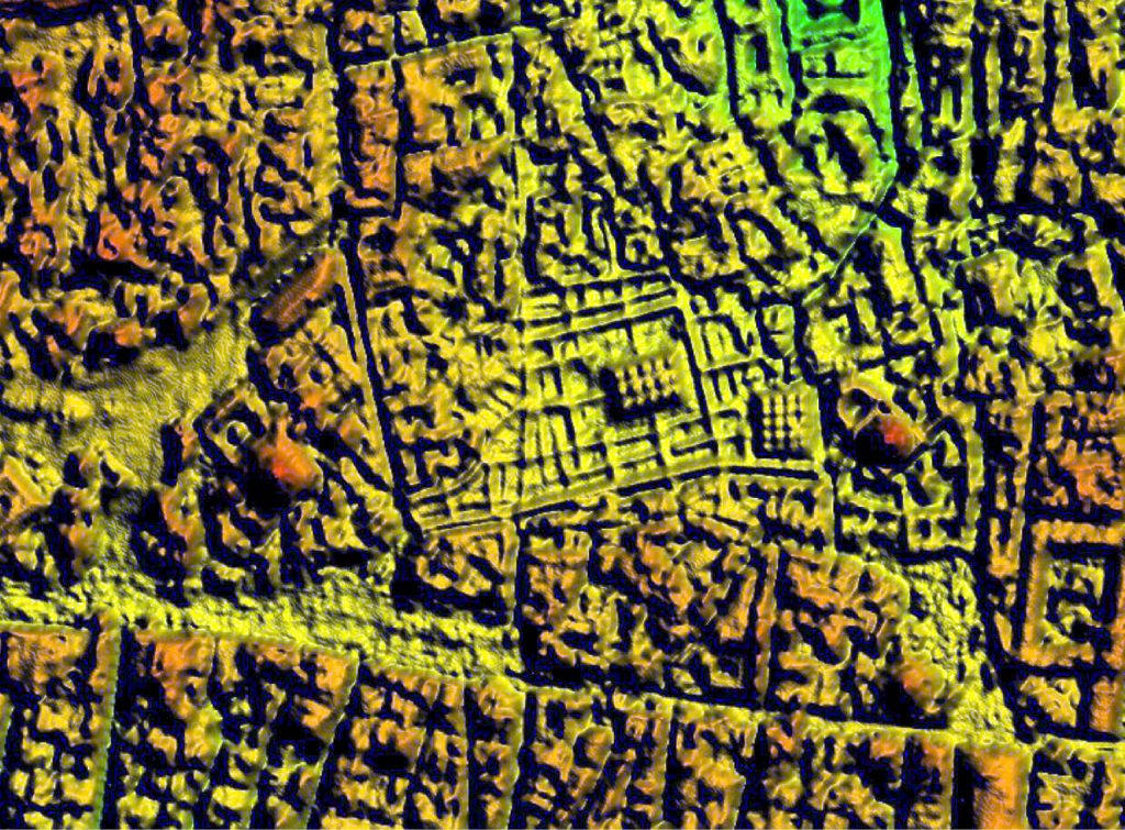
Digital Terrain Model (DTM)
This variant of 3D model represents the bare ground surface without all the features, such as buildings and trees.
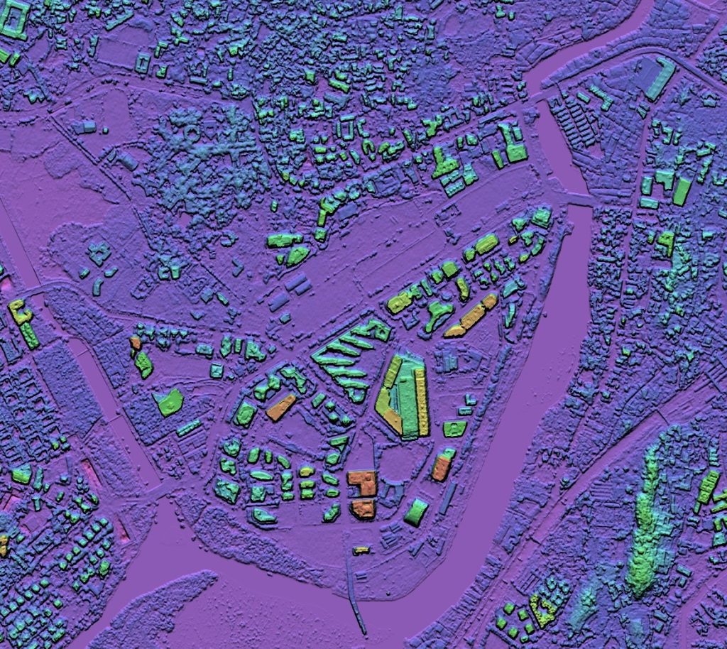
Digital Surface Model (DSM)
The Earth’s surface and includes all objects present on it. It incorporates the heights of cultural features like buildings, roads, and vegetation layers in the real world.
Applications

Experienced the Geoplus wide range DEM solutions for your valuable insights.
AIRBUS PROVIDES UNPRECEDENTED LEVEL OF DIGITAL ELEVATIONS SERIES
Digital Terrain Model
A DTM is a topographic model of the bare earth, or terrain relief, that contains spatial elevation data in a digital format. The data is presented as a rectangular grid without vegetation, buildings, and other man-made features on the ground. It focuses only on the depiction of natural terrain, excluding any artificial elements on the surface. DTMs analyse topography and landscapes in great detail and extract an accurate representation of elevation detail on the surface.
Digital Surface Model (DSM)
The Earth’s surface and includes all objects present on it. It incorporates the heights of cultural features like buildings, roads, and vegetation layers in the real world.
A gridded raster representing the highest visible surface, including vegetation and human-made features, at every pixel
Geoplus partnered with a leading ready-made DTM/DSM provider in the world to provide unprecedented accuracy elevation products for your project’s requirements and applications below,
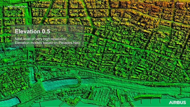
Elevation 0.5 is part of the Airbus Elevation Suite of products.
The Digital Elevation Models deliver highly precise altimetric information, providing the best elevation data of choice for infrastructure and engineering projects.
As part of Airbus Elevation portfolio, Elevation 0.5 provides elevation information in 0.5m resolution.
Elevation 0.5
The next level of very-high-resolution Digital Elevation Models, Elevation 0.5 is part of the Airbus Elevation Suite of products.
The Digital Elevation Models deliver highly precise altimetric information, providing the best elevation data of choice for infrastructure and engineering projects As part of Airbus Elevation portfolio, Elevation 0.5 provides elevation information in 0.5m resolution.Your advantages Elevation 0.5
- Unprecedented Precision
Elevation 0.5 sets a new benchmark for DSM accuracy. With an impressive precision of 0.5 meters, you can analyze and model the Earth’s surface in great detail
- On-Demand Flexibility
Elevation 0.5 projects will be adapted to your needs with simplicity of data collection and processing
- Stereo Imaging Excellence
Pléiades Neo’s stereo imaging captures the Earth’s surface from multiple angles, resulting in highly accurate 3D models that show the true topography of the Earth.
Elevation 1 / 4 | Highly precise altimetric information
Your advantages with Elevation 1 and 4 Ideal solutions for accurate 3D modelling in 1m and 4m resolutions
These elevation products offers highly accurate information anywhere in the world, independent of relief and weather conditions.
Elevation 1 and Elevation 4 are part of the Airbus Elevation Portfolio.Both products are derived from Pléiades stereo and tri-stereo optical satellite data.
- High precision and accuracy
Detailed elevation models thanks to a grid spacing from 1m to 4m
- Off the shelf product
Rapid delivery and efficient accounting
- Absolute vertical accuracy
Down to 1.5m with ground control points (GCPs); valid for slopes ≤20%
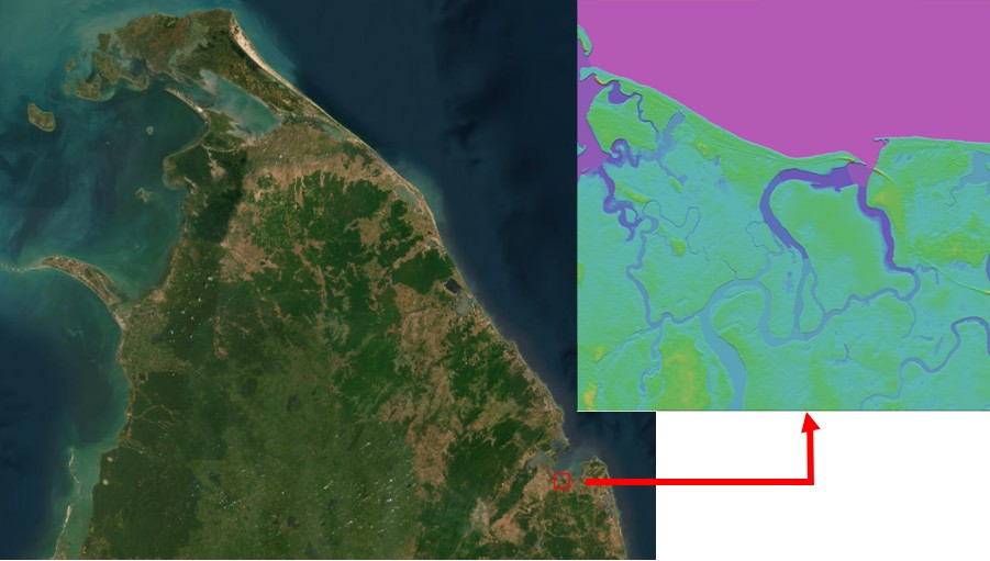
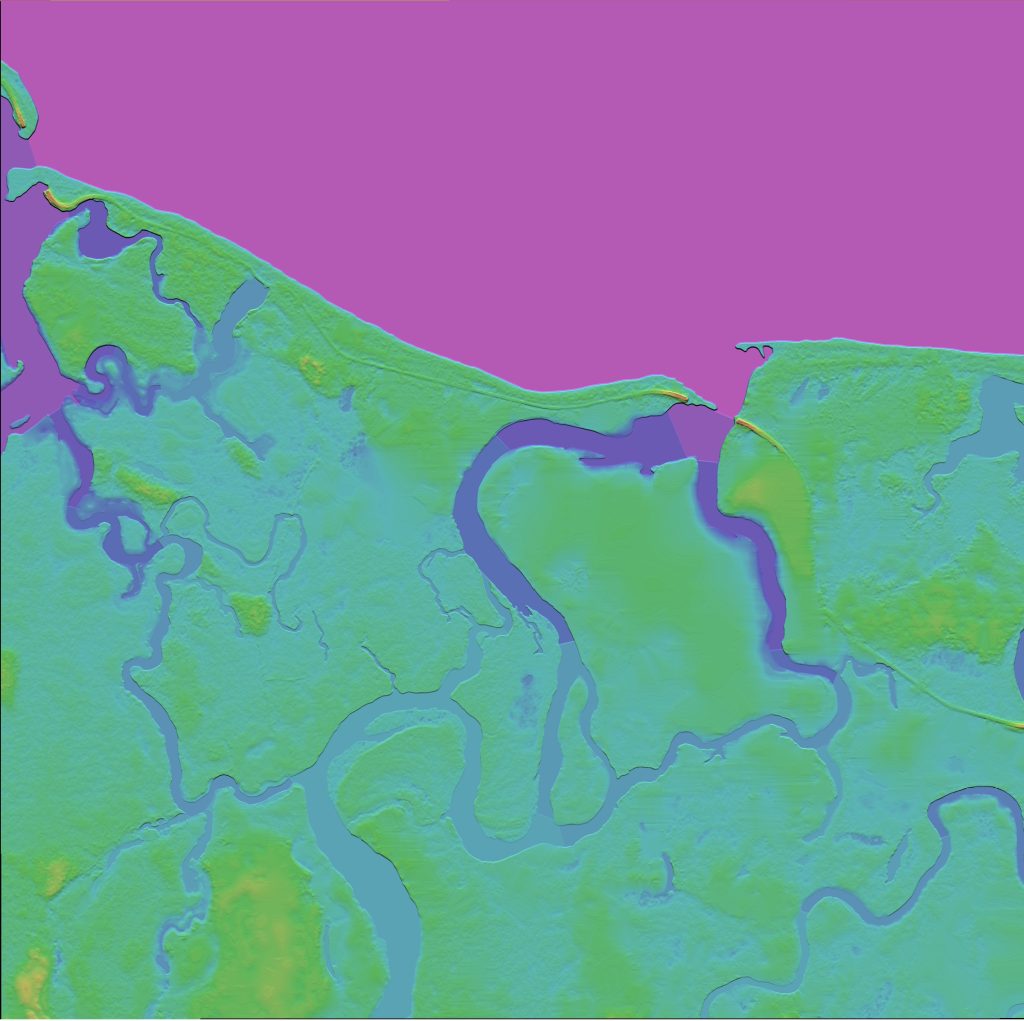
WorldDEM™ Neo – The Next Level of Elevation Data
The most accurate global digital elevation model
It offers a combination of global coverage, highly accurate WorldDEM data, up-to-date and fresh data acquisition (from 2017-2021) and a unique resolution. It sets a new standard in satellite-based elevation models that are globally available today for GIS.
Your advantages with WorldDEM Neo
- Globally available
Global off-the-shelf Reference Layer for easy and instant access
- Accuracy
Highest resolution combined with the most accurate geolocation on global scale
- Rapid on-demand delivery
The product is ready made and choose between five WorldDEM products in different resolutions, confirm your order and download your DEM data in just a few minutes.
- DSM: Edited Digital Surface Model including editing of terrain features and with assured hydrological consistency
- DTM: Derived from the WorldDEM Neo (DSM) product by removing vegetation and man-made objects to show the bare terrain of the Earth’s surface