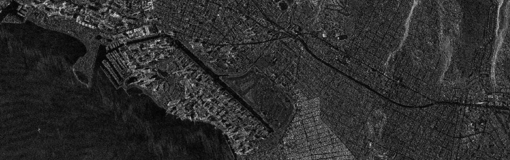
Radar Constellation Imagery and Data Extraction
Geoplus has partnered with the AIRBUS Radar Constellation to provide the most reliable and widest range of radar satellite imagery — from the highest resolution to wide-area coverage — regardless of weather or daylight conditions.
Our subject matter experts specialize in radar imagery analysis for a variety of market applications and deliver highly accurate and precise outputs using AIRBUS’s high-resolution radar constellation.
Our team happy to collaborate with Government and private sector organizations for making dedicated flood maps for their applications using Radar Satellite Imagery.
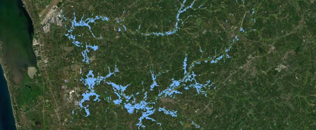
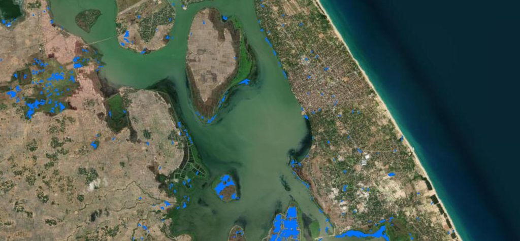
Flood Extraction / Inundation Area Mapping
The flood extraction using high resolution Radar Satellite can be supported for decisive decisions for making evacuation plan and monitoring the flood. Imagery Due to the penetration capacity of synthetic aperture radar (SAR) data through clouds and hazy atmospheric circumstances like fog, smog, light rain, mist etc., it has ability to continuous observation of flood events for producing accurate, rapid and cost-effective flood mapping.
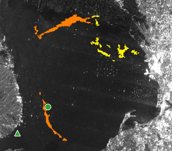
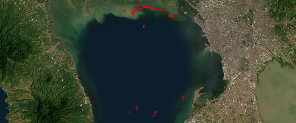
Oil Spill Monitoring
Radar imagery can help identify spilled areas and support planning to mitigate environmental damage from such incidents.
Our team is ready to assist you in analyzing the data and preventing environmental pollution using highly precise algorithms.
IMAGERY FEATURES
- Radar Constellation ‘toolbox’: Imagery in 6 different imaging modes with a flexible spatial resolution (from 25cm to 40m) and area coverage (footprint)
- Weather and daylight independent site access to any point on Earth
- High agility (rapid switches between different imaging modes and polarisations)
- 4/7 days interferometric repeat cycle, global mean revisit time < 24 hrs
- Unrivalled geometric accuracy and excellent radiometric accuracy