We have grown as a premier Surveying company, taking care of precise engineering and land surveying in Sri Lanka.
Geoplus Solutions (Pvt) Ltd is a leading surveying company in Sri Lanka that specializes in various types of surveys, including land, topographical, control, and engineering surveys. Utilizing advanced technologies such as Geodetic GNSS/RTK, GPS, Total Stations, Digital levels, and Drones, the company offers services like Land Surveying & Mapping, Geographic Information Systems (GIS), land management, and environmental management. Committed to embracing the latest digital and laser-based technologies, Geoplus Solutions provides expert consultancy and solutions in areas such as aerial surveys, hydrographic surveys, and Lidar surveys, establishing itself as a premier provider of precise engineering and land surveying services in the region.
Our subject matter experts provide the smartest solutions to our dedicated clients for
- Land Surveys
- Aerial Surveys
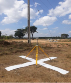
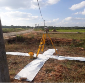
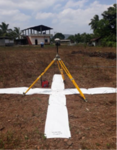
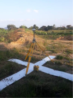
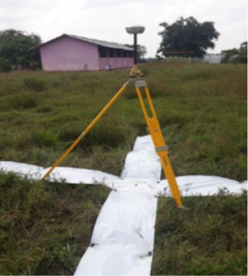
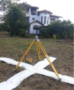
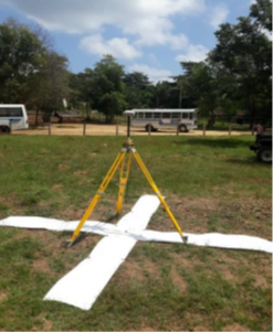
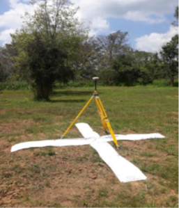
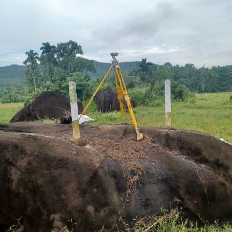
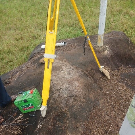
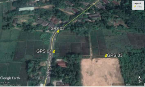
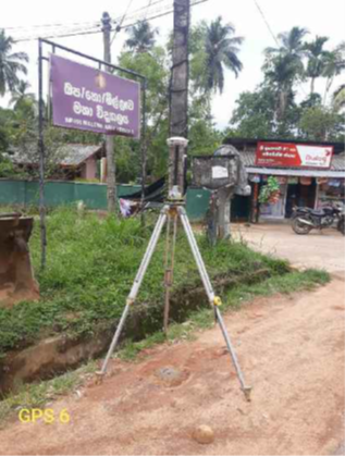
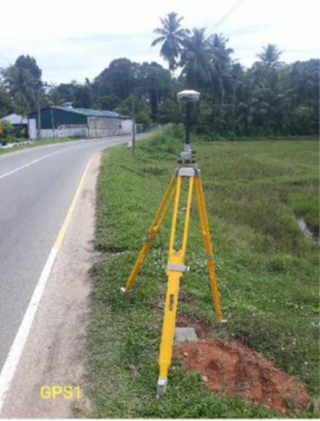
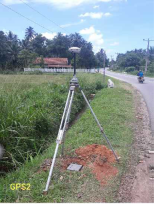
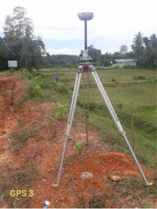
- Establish Ground Control Points (GCP) with Survey Department Certification.
- GCP Collection Services
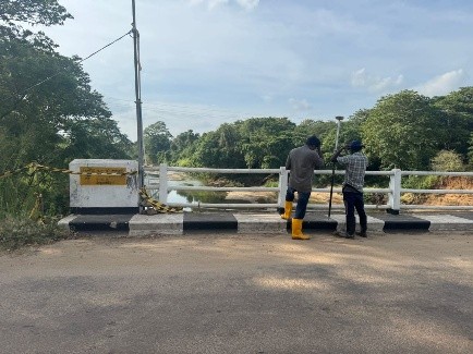
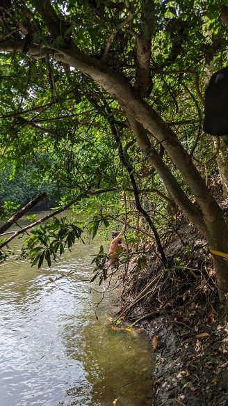
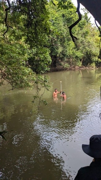
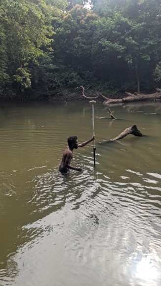
- Bathymetric Surveys and River Cross-Section Surveys

River Cross Section Surveys (Parngi aru, Pali aru, Kanagarayan aru, Malwathu & Kala Oya)
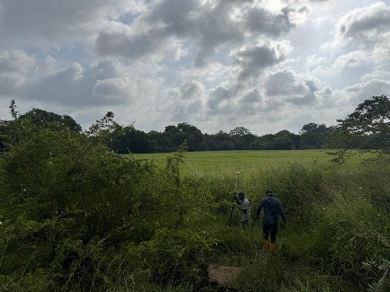
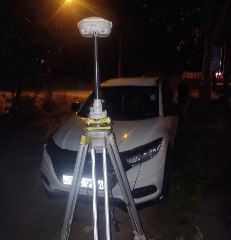
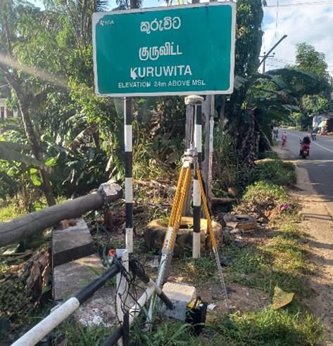
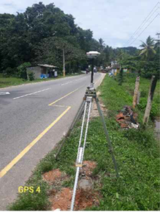
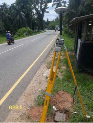
Control Surveys at Rathnapura District
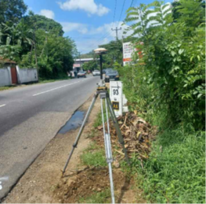
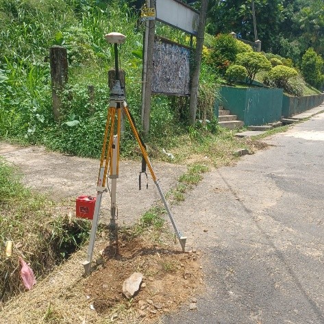
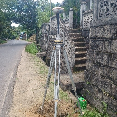


Control Surveys at Kalutara District

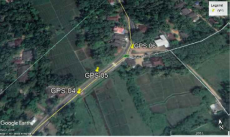

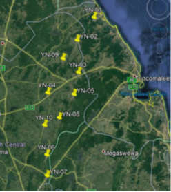
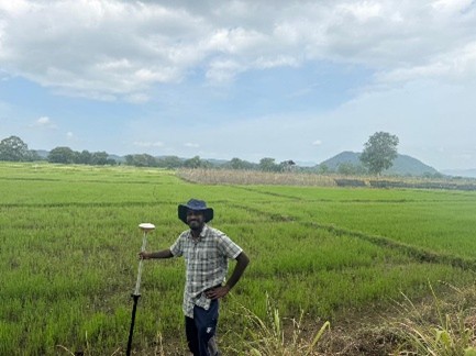
Signalizing GCP Points for Tasking – YAN OYA BASIN