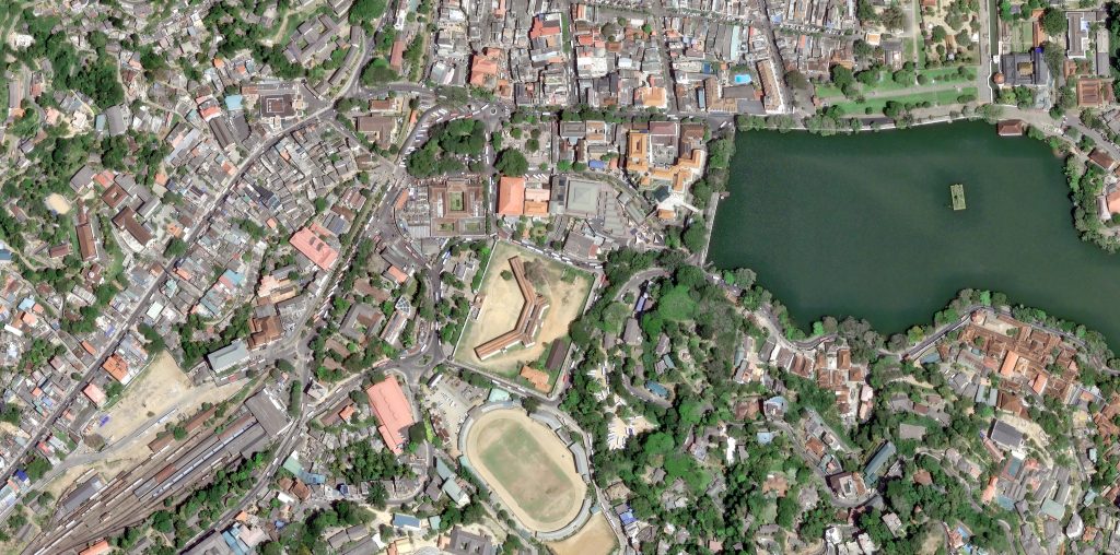
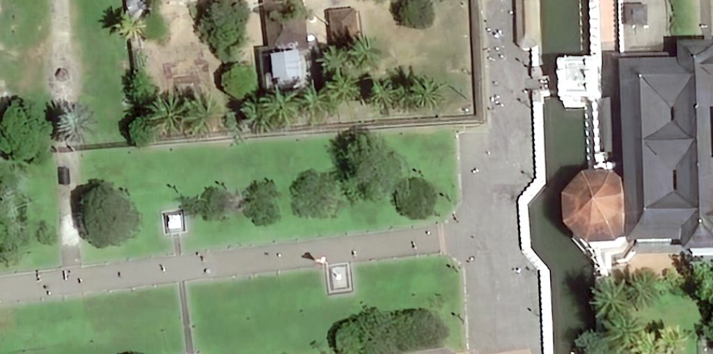
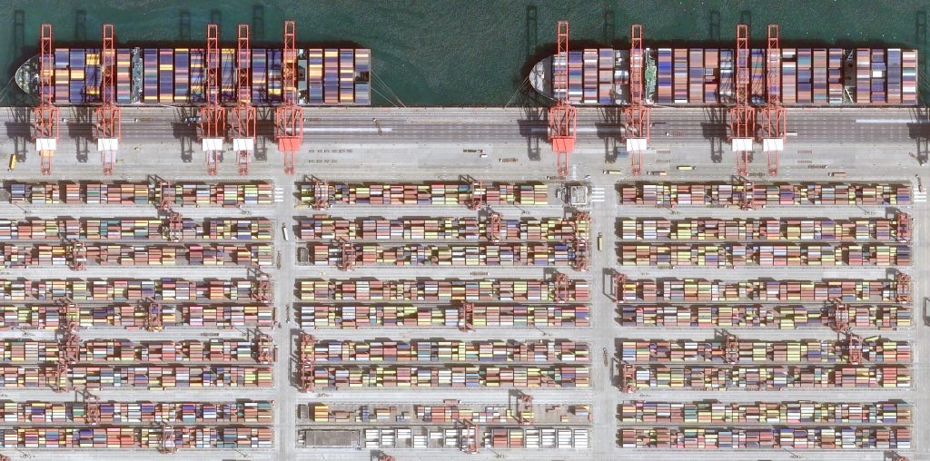
15cm HD imagery product – The clearest imagery for your project
Geoplus provides Extensive and accurate Earth observation imagery, data, and value-added solutions to meet your project expectations to be achieved.
15cm HD products area very potential product for your urban planning and management projects and cost-effective instead of flying aerial or drone applications and in-field monitoring.
15 cm HD expands the level of available information, maximizing features and creating a better visualized image that can be gathered from 30cm native satellite imagery.
Take advantage of the most extensive and precise Earth observation Imagery and Data solutions on the market.
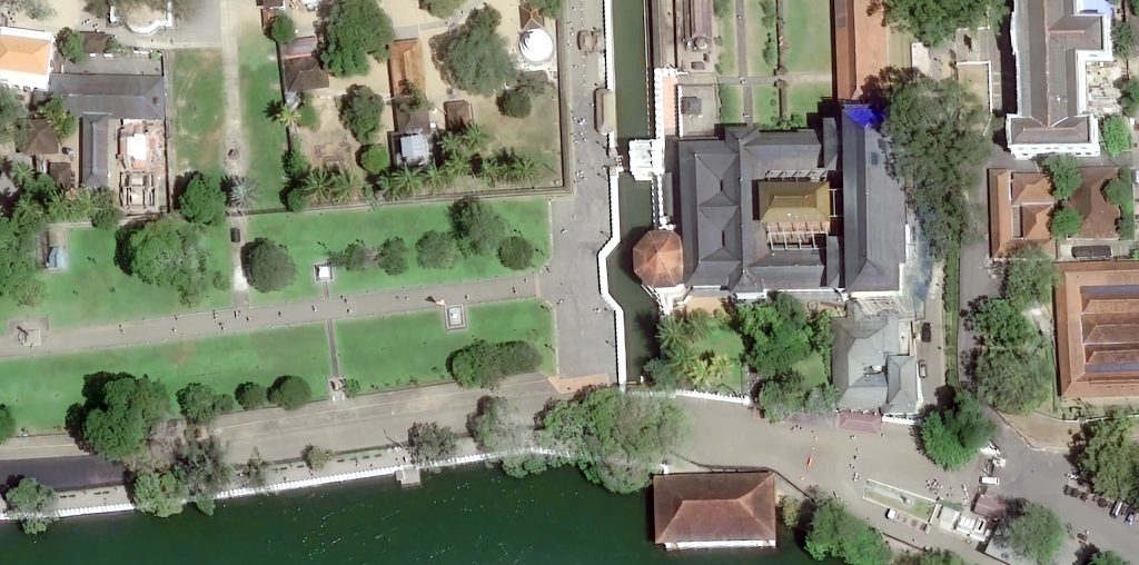
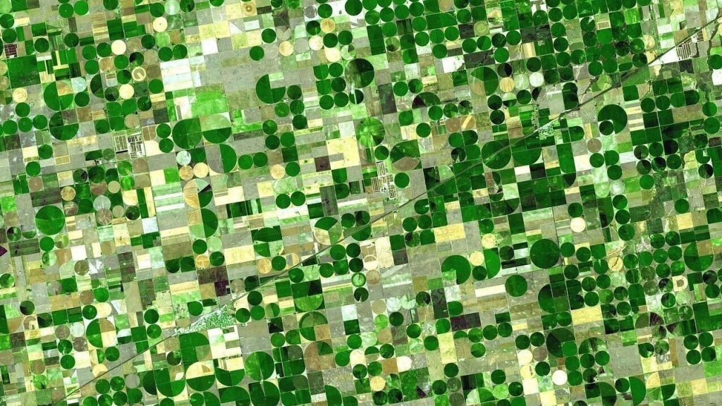
30cm Imagery Product- Imagery for analytics
The power to see beyond the optical imagery, multispectral imagery is the key to unlocking insights for the remote sensing analysis.
6-band multispectral imagery band solves many challenges in the real world,
- Agriculture Development applications and monitoring
- NDVI analysis
- Habitat and seagrass mapping
- Wildlife conservation and Environmental management
- Disaster management and pre-preparation analysis
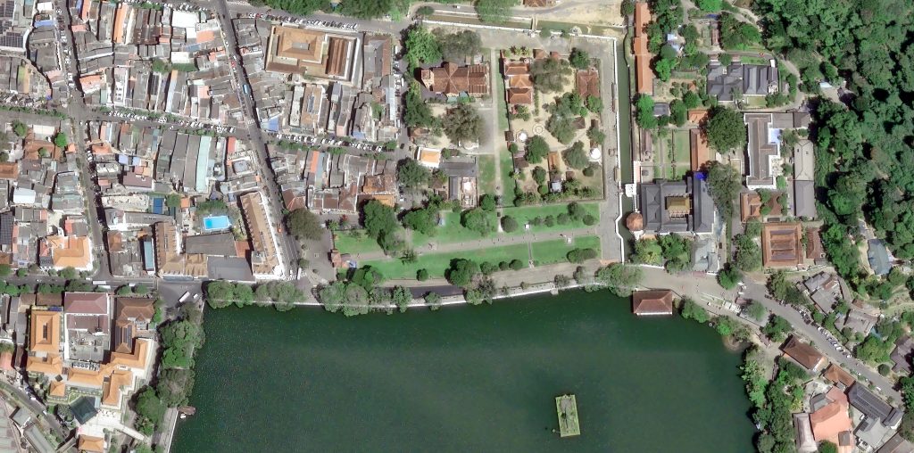
50cm Imagery product- Application Development Imagery
50 cm resolution imagery data can be utilized for a wide range of applications. Our primary sensors offer advanced and efficient data collection capabilities, enabling rapid acquisition of the information required for your project.
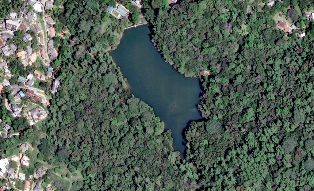
Image gallery
https://space-solutions.airbus.com/resources/satellite-image-gallery