WHY CHOOSE GEOPLUS FOR YOUR PROJECT
We are delivering only Exceptional Quality Work
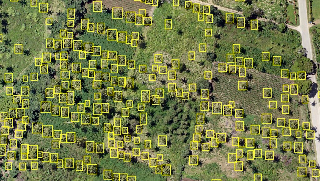
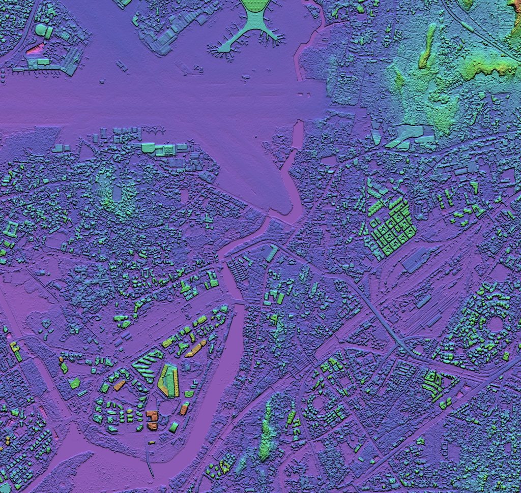
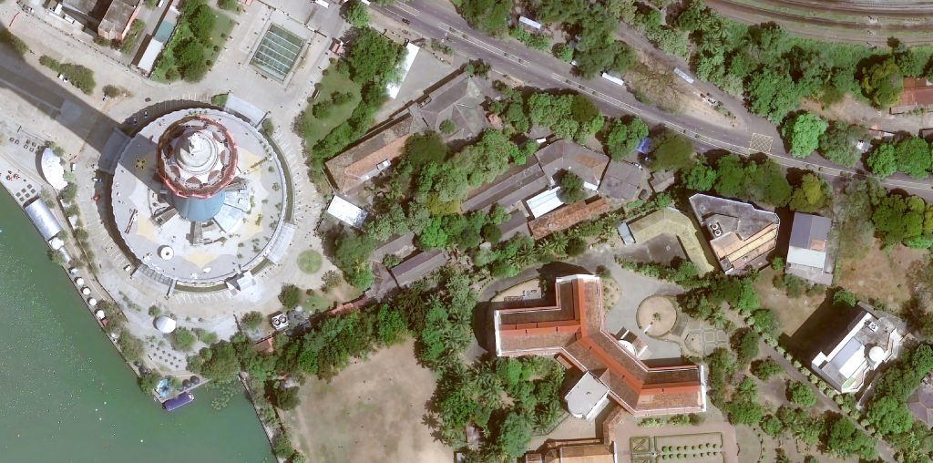
Advanced Satellite imagery processing capability
Our spatial scientist uses precise algorithms and techniques deliver more accurate and timely data than other competitors
Extensive industry application expertise
Our industry expertise provides the best tailored solutions for each industry application
Strong partnership with leading high resolution satellite imagery providers
Partnerships with leading providers always keep top in the comprehensive solutions.
“GeoPlus Solutions” Pvt Ltd is a Limited Liability Company was formed for all kinds of geospatial services. The company specialized for servicing of high-resolution satellite imagery service providing, lands, aerial surveying and mapping. Our principal sensors are the most advanced optical and Redar constellation in the world provide unmatched high-resolution products to the industry up to 15cm.