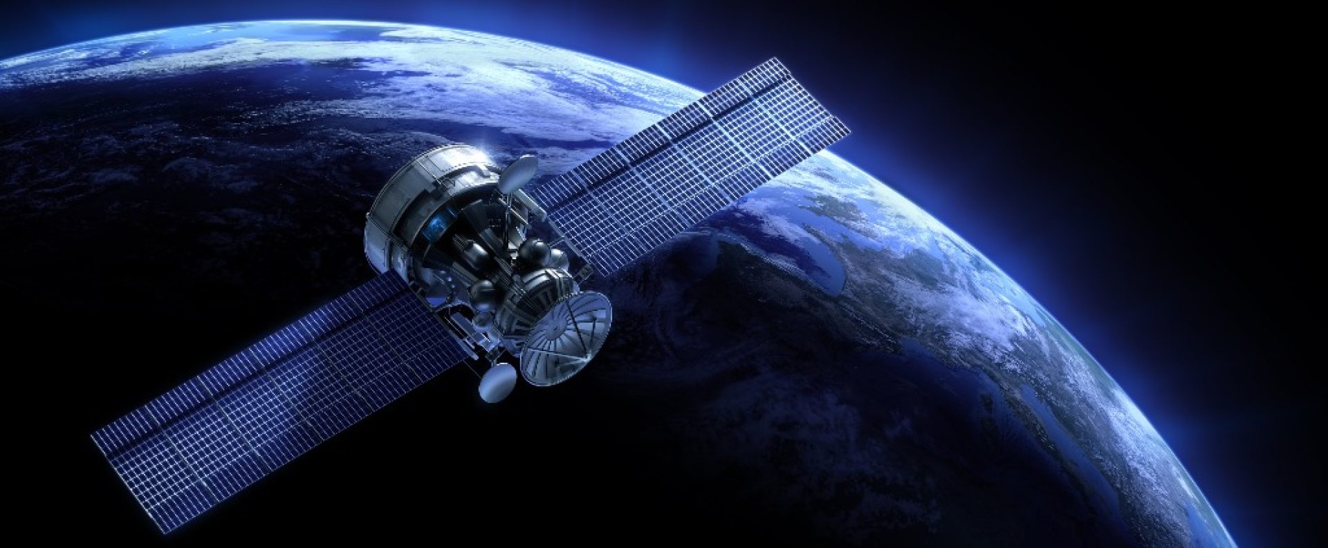
Airbus Defence and Space
Airbus Defence and Space provides unequaled services and imagery to the wide range of commercial Earth observations to day.
The Geoplus Solutions Privet Limited provide three type of senor images;
- Pléiades 1A & 1B
- SPOT
- TerraSAR-X
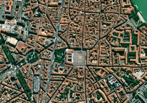
Pléiades
Pléiades 1A and Pléiades 1B operate as a constellation in the same orbit, phased 180° apart.
The identical twin satellites deliver very-high-resolution optical data products in record time and offer a daily revisit capability to any point on the globe.
- 50-cm resolution, colour, orthorectified imagery.
- Band: Panchromatic; 4 multispectral bands (Red, Green, Blue & NIR)
- 20-km ground footprint at nadir, up to 100 km x 100 km in strip mapping mode.
- The full Pléiades portfolio is available in a few clicks on GeoStore.
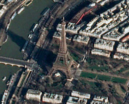
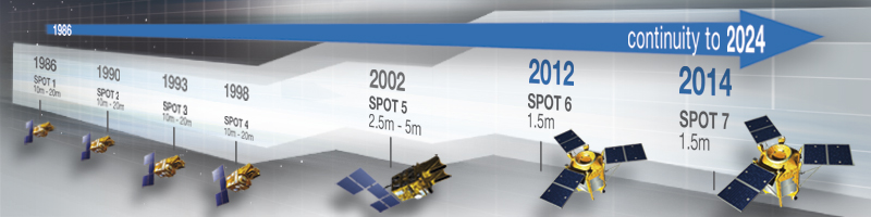
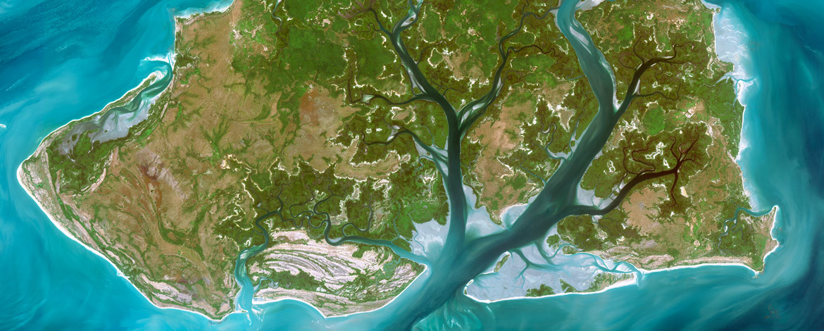
SPOT
With SPOT 6 and SPOT 7, the SPOT series is entering a new era. Together, the two satellites form an Earth-observation constellation with highly responsive sensors that increase acquisition capacity and simplify data access.
 While retaining SPOT’s trademark 60-km wide imaging swath, SPOT 6 and SPOT 7 offer users a number of key improvements:
- 1.5-metre-resolution natural-colour products, orthorectified as standard
- Multi-year coverage of entire national territories
- Daily revisits to any point on the globe
- Ability to accommodate last-minute tasking requests
- Billing per area of interest
Built with a 10-year lifetime warranty, SPOT 6 and SPOT 7 assure continuity of high-resolution data services through to 2024.
SPOT 6 and SPOT 7 are designed to cover wide areas in record time, making it possible to regularly update national map series free from the constraints imposed by seasonal conditions.
- The constellation covers up to 6 million sq.km. every day, an area larger than the entire European Union.
- Four weather forecasts per day are integrated automatically into the tasking process to optimize efficiency. As a result, 60% of images have less than 10% cloud cover.