
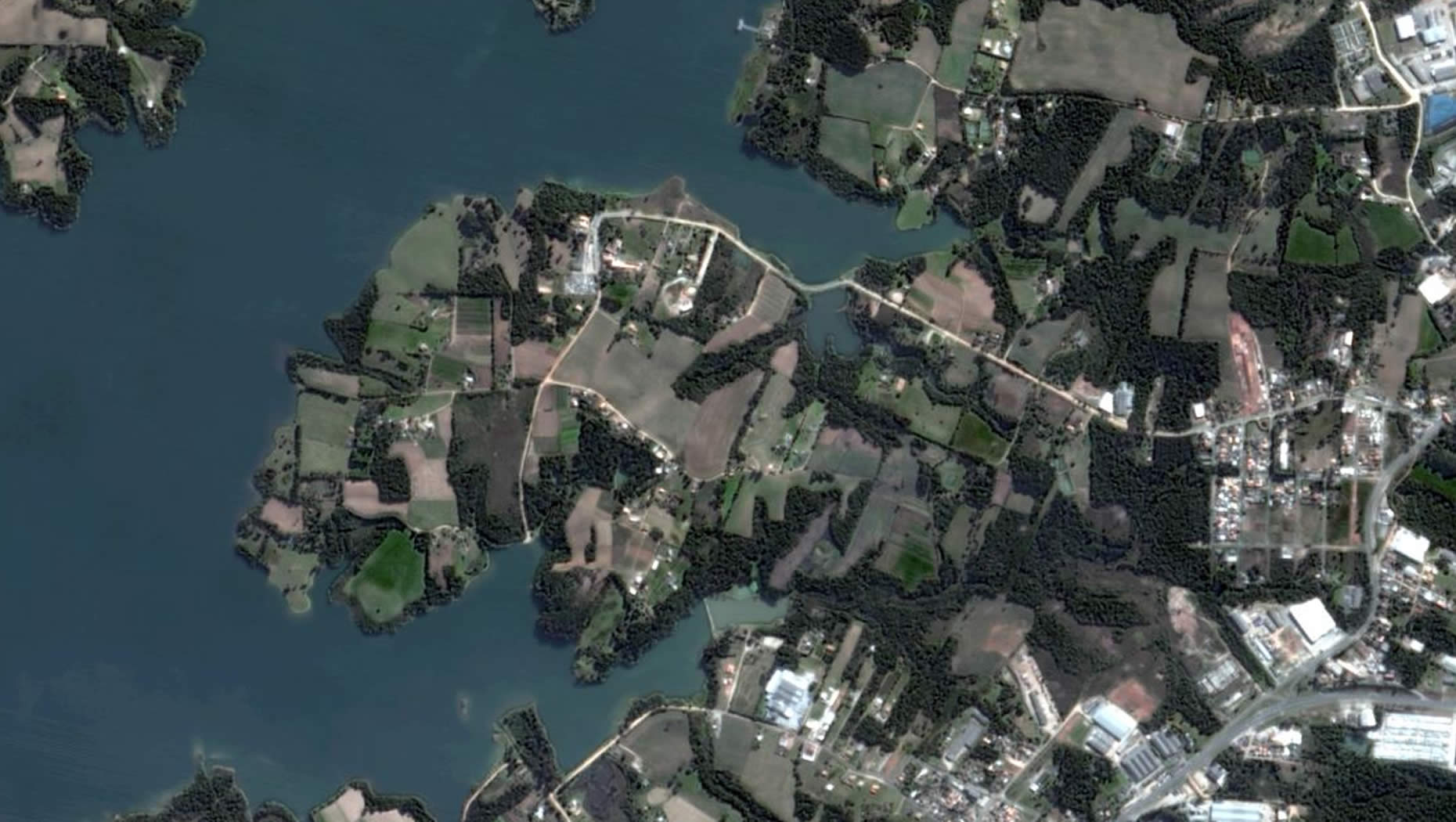
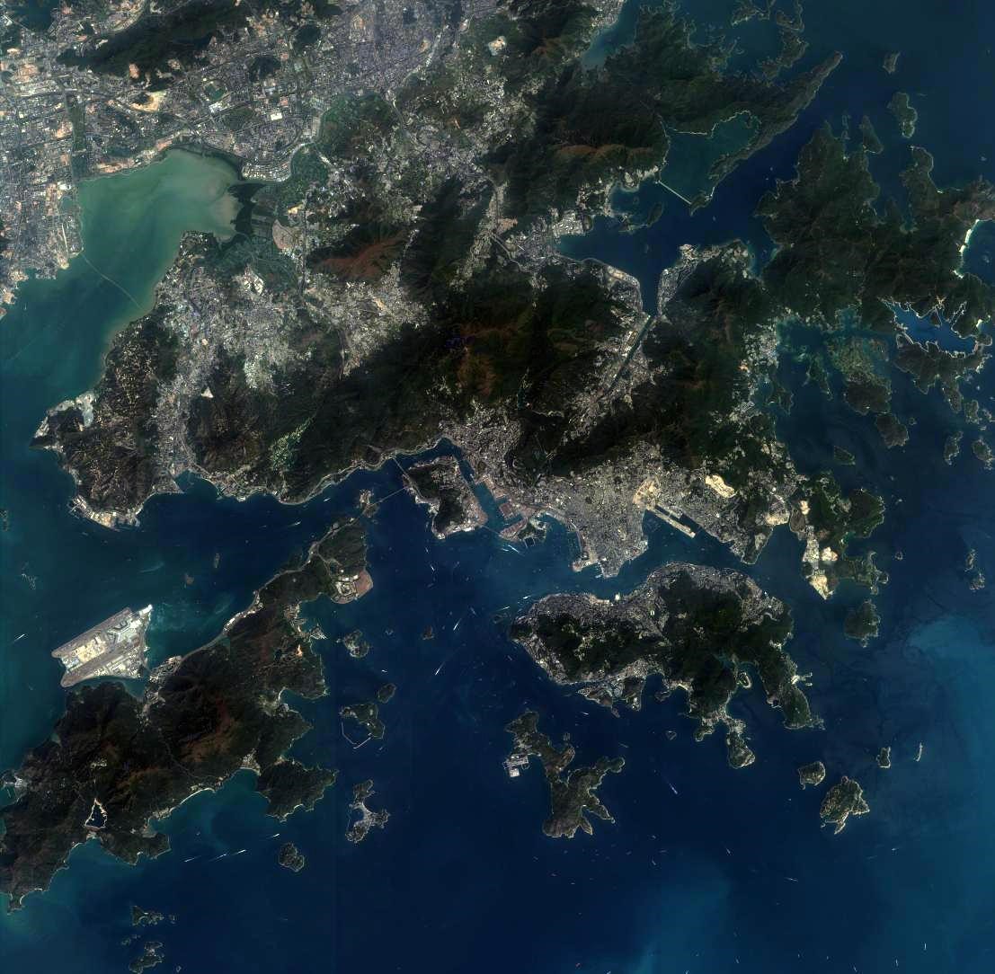
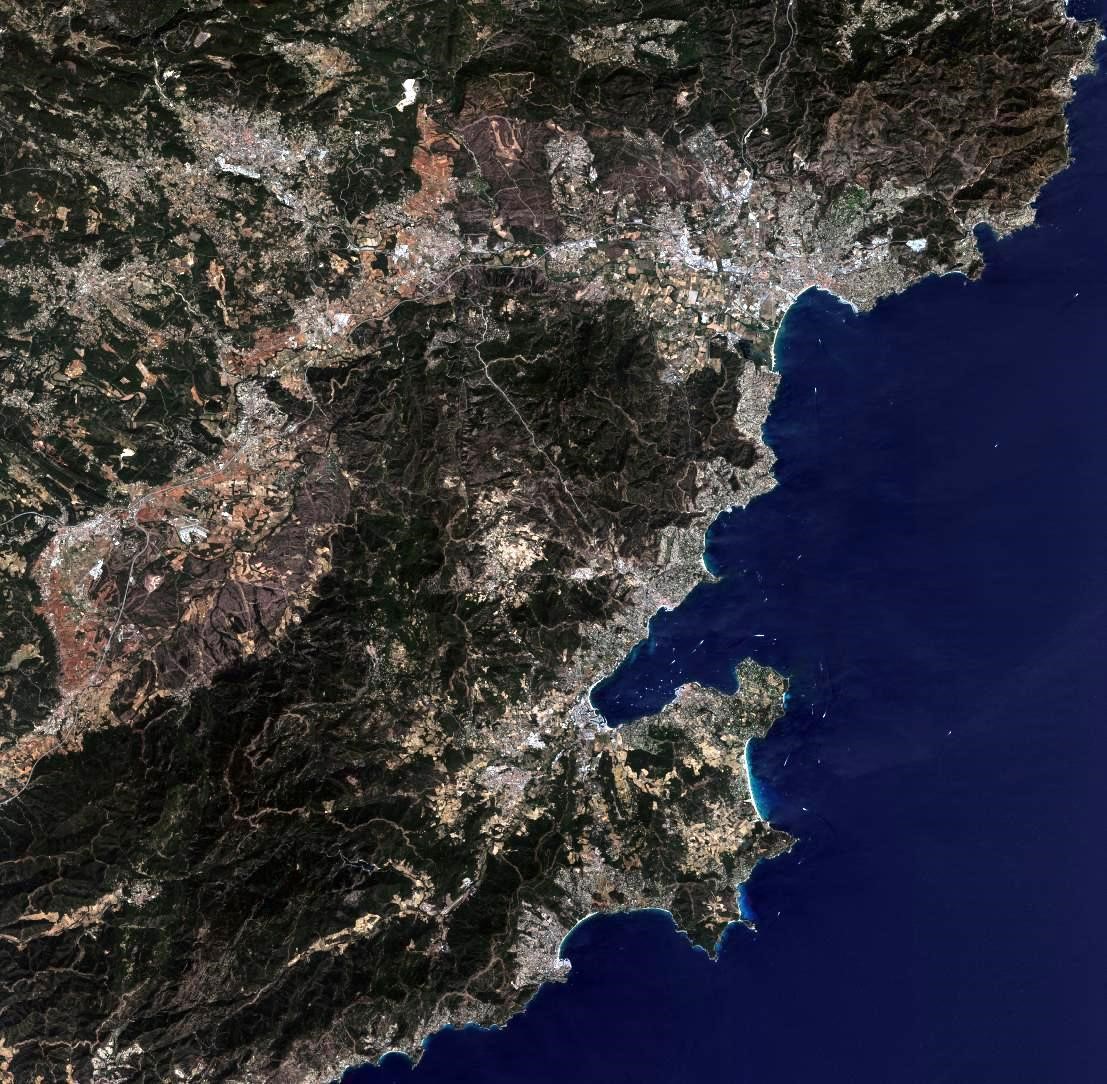
Spaceview Image
SuperView-1 constellation includes 2 satellites and set to be launched on one mission in December 2016. It operates at an altitude of 530 km and provides imagery with 0.5 m panchromatic resolution and 2 m multispectral resolution. The swath width is 12 km and the descending node time is 10:30 am. It possesses high agility and runs with multiple collection modes including long strip, multiple strips collect, multiple point targets collect and stereo imaging. The maximum single scene can be 60 km * 70 km. And in the second half year of 2017, another two better-performed 0.5 m resolution satellites will be launched to the same orbit. From then, there will be four high resolution satellites and phased 90° from each other on the same orbit to collect imagery for the clients across the world.
The Geoplus solutions provided Superview, GF1-4 and ZY 3 imagerys.
Feature & Benefits
● Very High Resolution
-With 0.5 m PAN and 2 m MS resolution, it provides highly detailed imagery for precise map creation, change detection and in-depth image analysis.
● Multiple Spectral Bands
-Panchromatic
-4 standard colors: blue, green, red, near-IR
● Fast Large Area Collection
-12 km imaging swath width, provides better capacity than competition.
● Highly Agile Platform and Multiple Collection Modes
-Agile platform allows up to ±30° pitch and ±45° roll down emergency scenarios.
-Long strip multiple strips collect, multiple point targets collect and stereoscopic collection.
● High Collection Capacity
-2TB storage onboard, collects 900,000 km² across the globe per day.